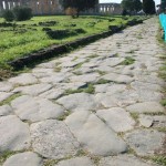
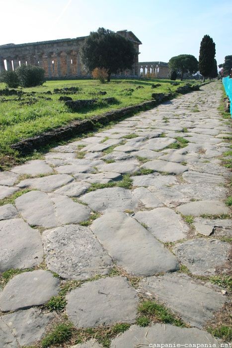
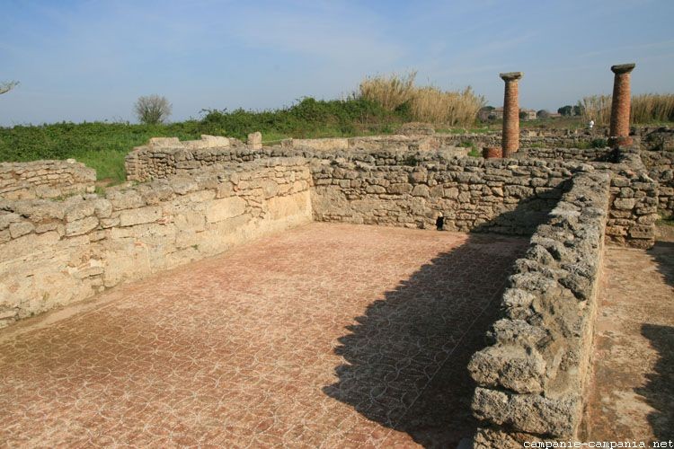
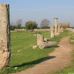
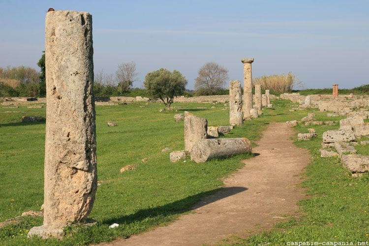
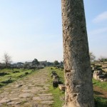
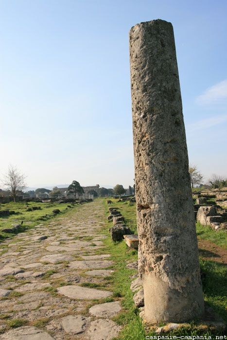
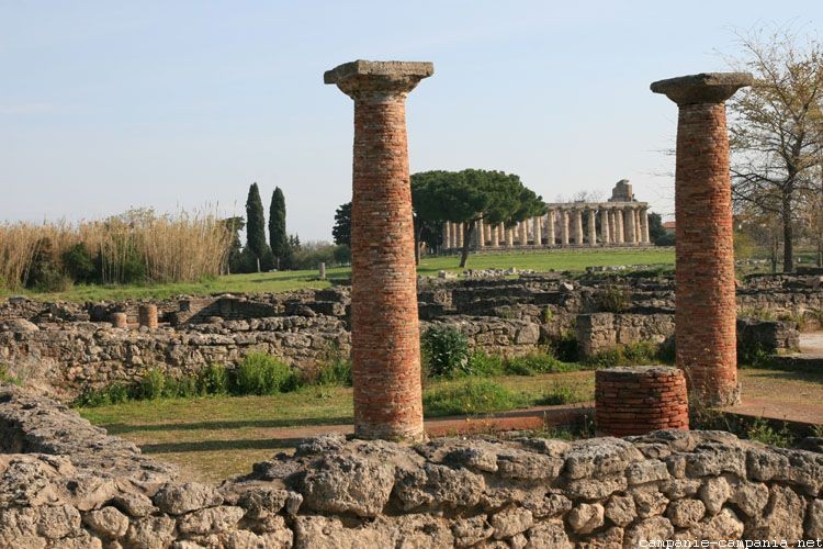
The via Sacra, borrowed during religious processions, is 9 feet wide, paved with large blocks of limestone that are marked by the traces of the passage of carts. Paved by the Romans, however, it dates from the Greek era. On its west side is a large residential area.
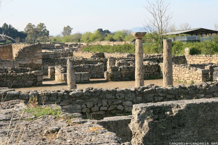
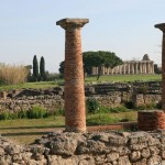
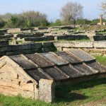
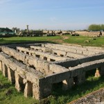
In the western sector, eight blocks of dwellings were searched, of approximately similar size, oriented north / south. These houses are all from the imperial Roman era.
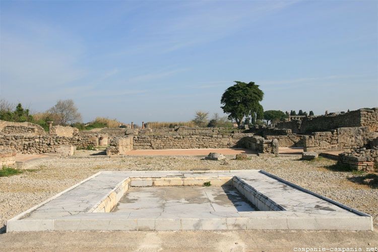
Among the different houses, there is the House with marble basin, the house with swimming pool, the House with peristyle including small thermal baths.
-
- Rue
-
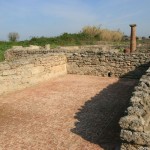
- Maisons
-
- Via Sacra
-
- Paestum, maisons
-
- Via Sacra
-
- Case Paestum Antica
Paestum
loading map - please wait...
 Agora | |
 Forum | |
Via Sacra et habitations | |
 Sanctuaire septentrional Temple d'Athéna | |
 Temple d'Héra, basilique | |
 Temple de Poséidon |